
Ground Penetrating Radar (GPR)
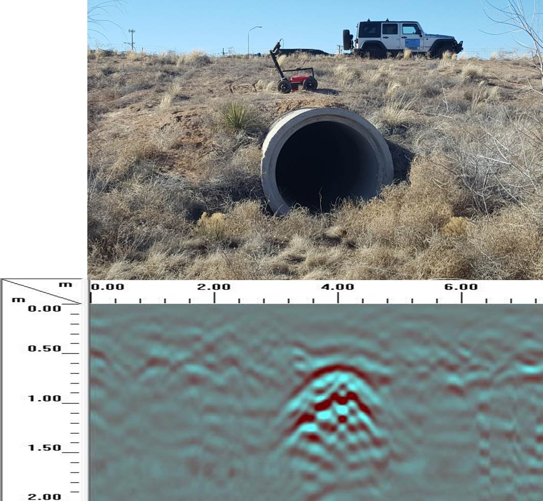
Ground Penetrating Radar (GPR) uses radio-frequency energy from an on-board antenna to “image” geologic features, voids, utilities and other anomalies buried underground from just below the surface up to 40 meters (130 feet) deep, depending on the rock type and moisture content. It can be used for a variety of purposes including:
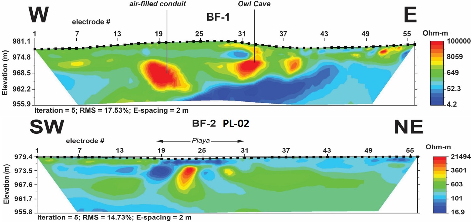
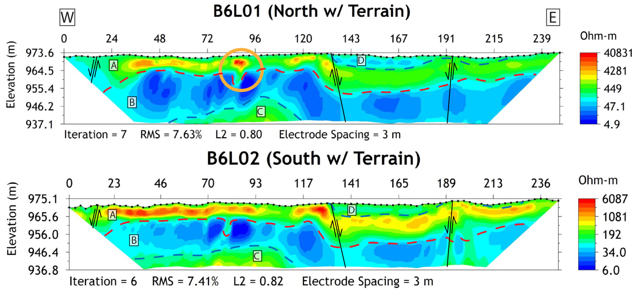
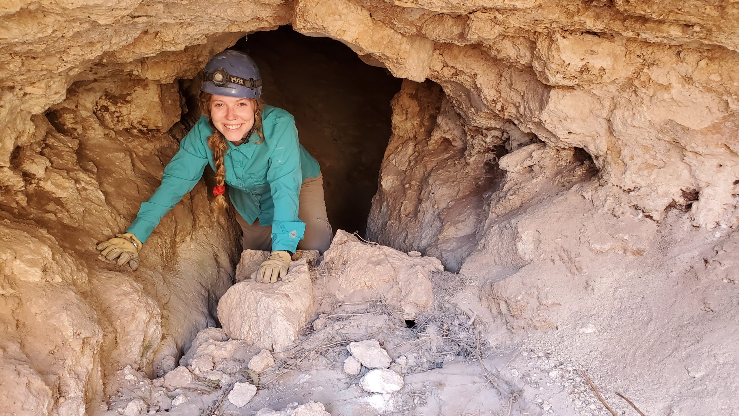
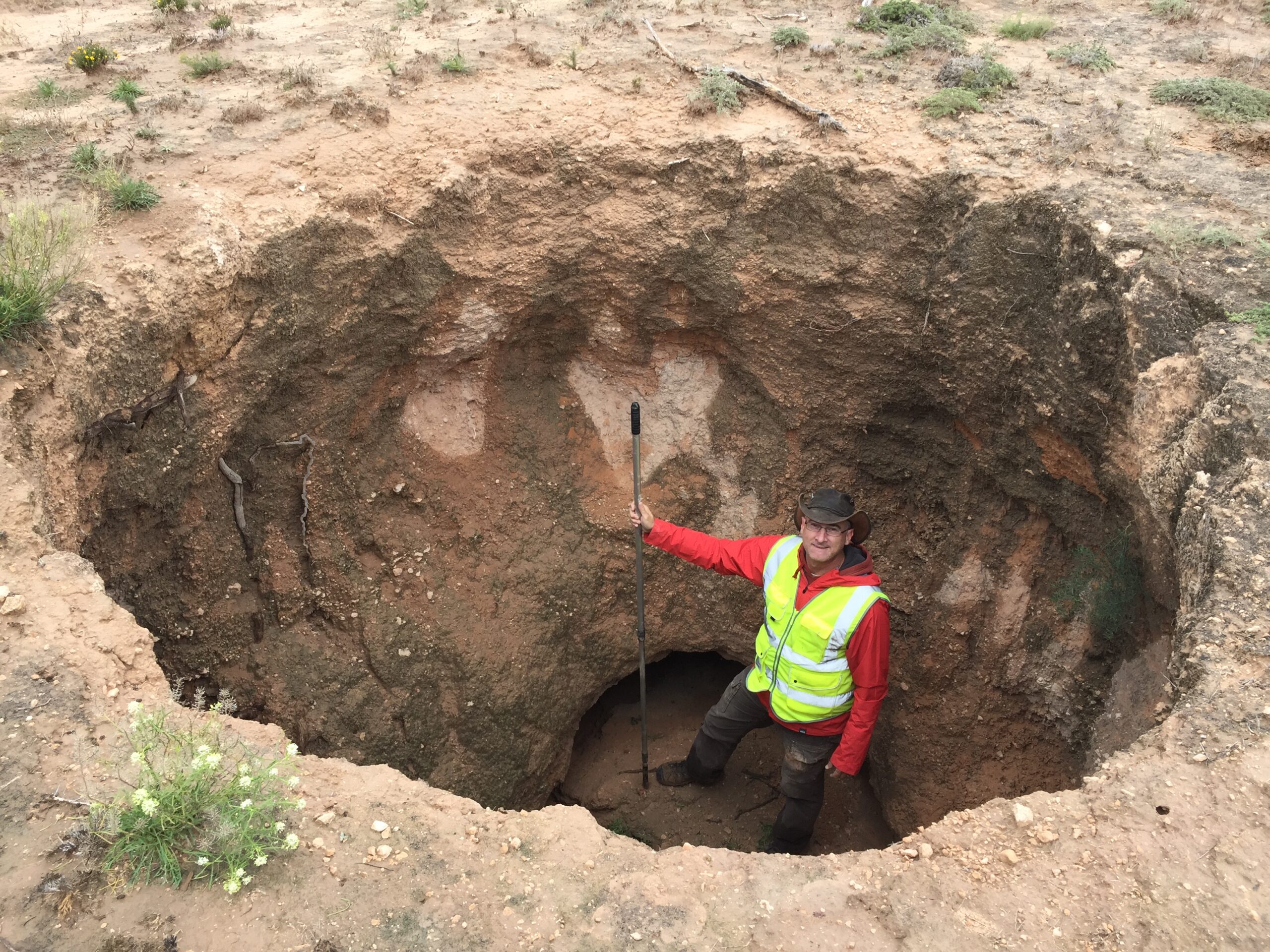
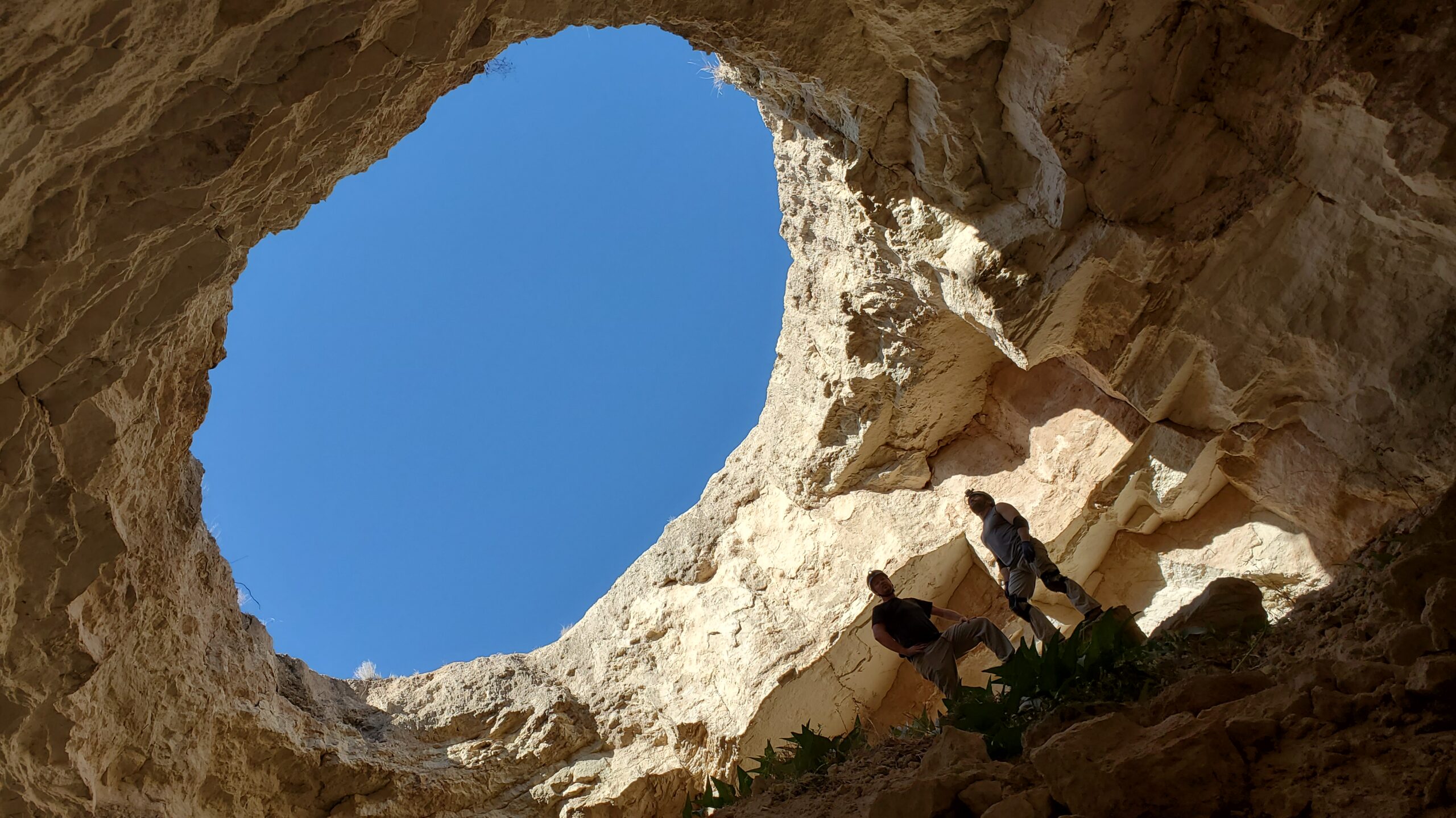
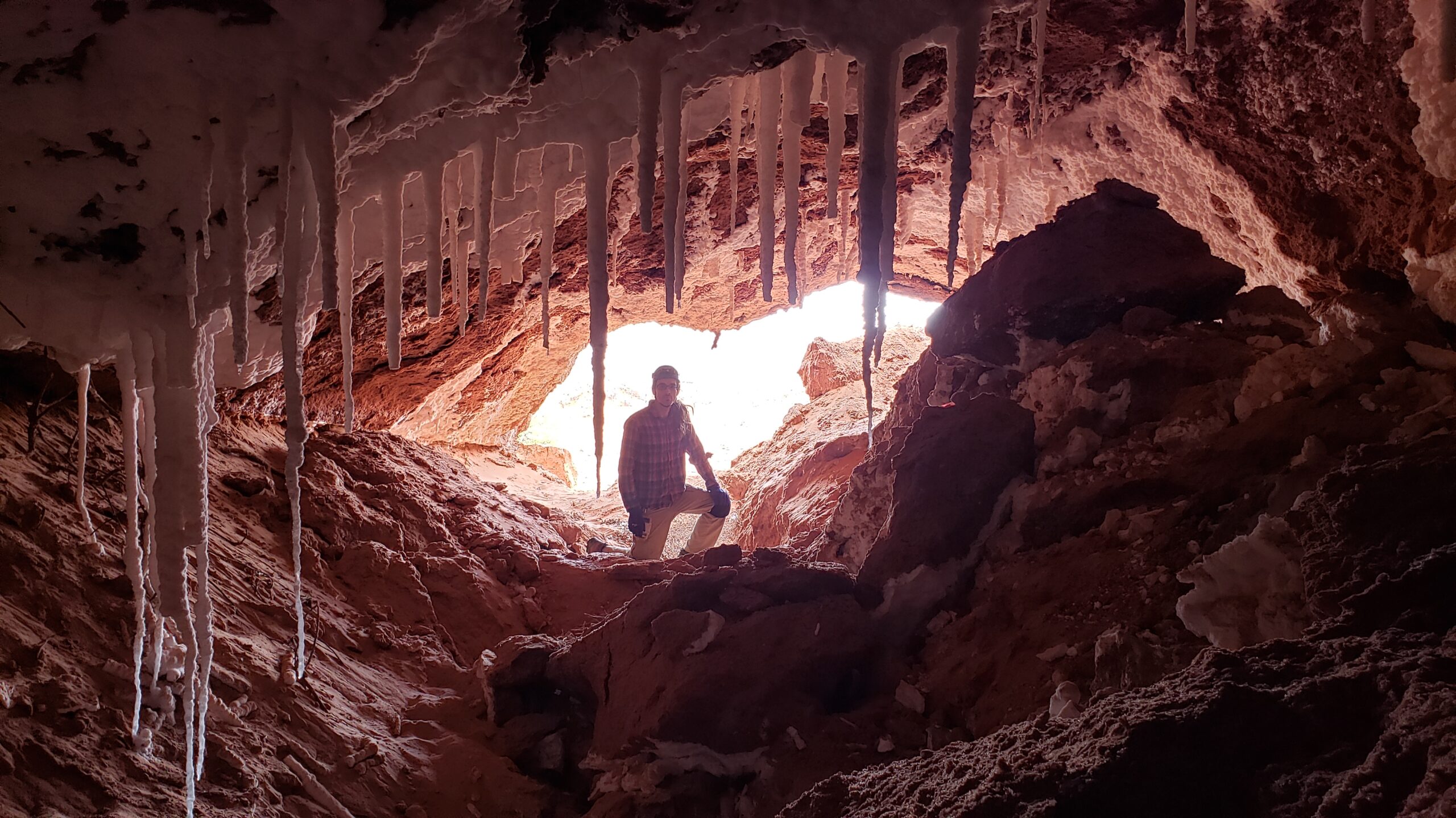
- Sinkhole and Void Detection (prior to breaching the surface) – Sinkholes form not only in natural karst environments like that found in eastern and southeastern New Mexico in the gypsum plains and other areas of New Mexico where limestone is present, but also in highly engineered areas like our streets and neighborhoods. When a water main leaks or breaks, it starts to wash away the soil around it, which eventually forms a void around the broken pipe. When this void gets big enough, it can breach the surface swallowing people, cars and even buildings. In very rare cases, entire city blocks have been swallowed by sinkholes!
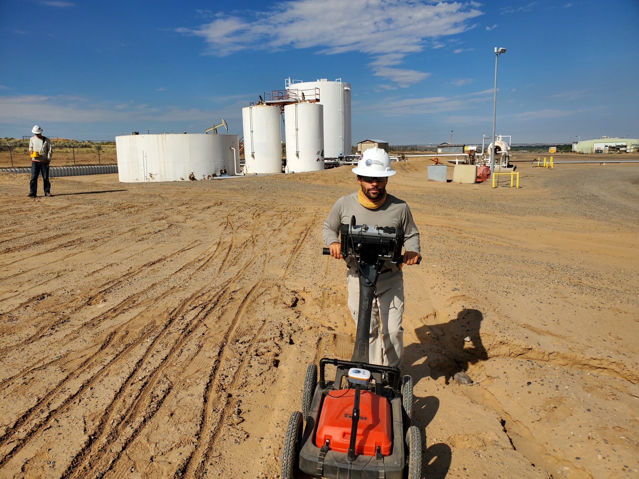
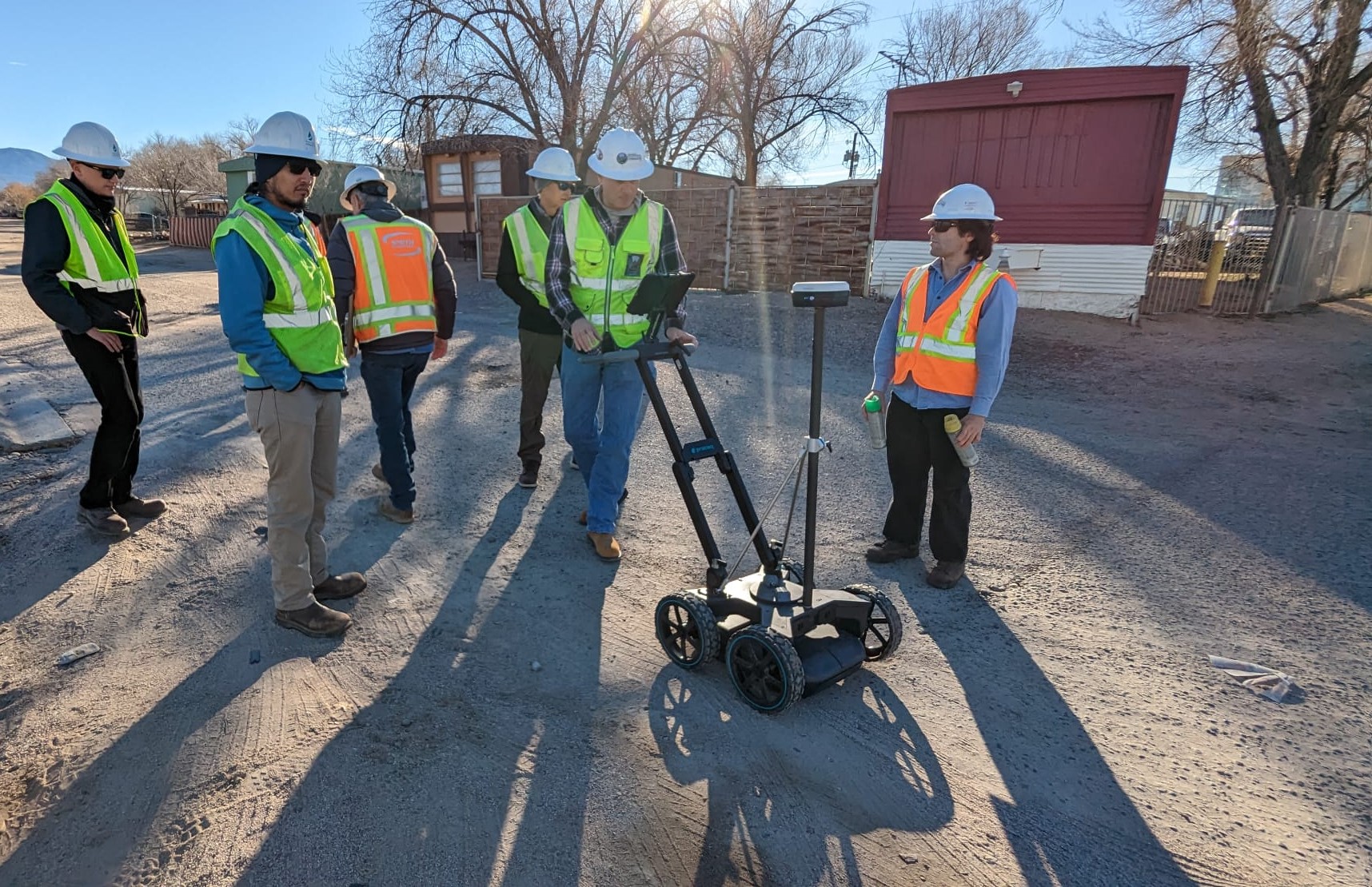
- Utilities and Underground Storage Tank Location – Many times utilities are difficult to find. Original locations or maps have been misplaced or lost, abandoned utility lines are often mislocated or not even known about and when the locations are known, many times there are more than just one set of pipes or cables which can cause undue confusion when a utility is breached just next to where another one was known. Damage to utilities can be very expensive, especially when gas, power, water or sewer lines are breached by heavy equipment. The time and cost associated with repairing damaged utilities can set a project back weeks and tens of thousands of dollars.
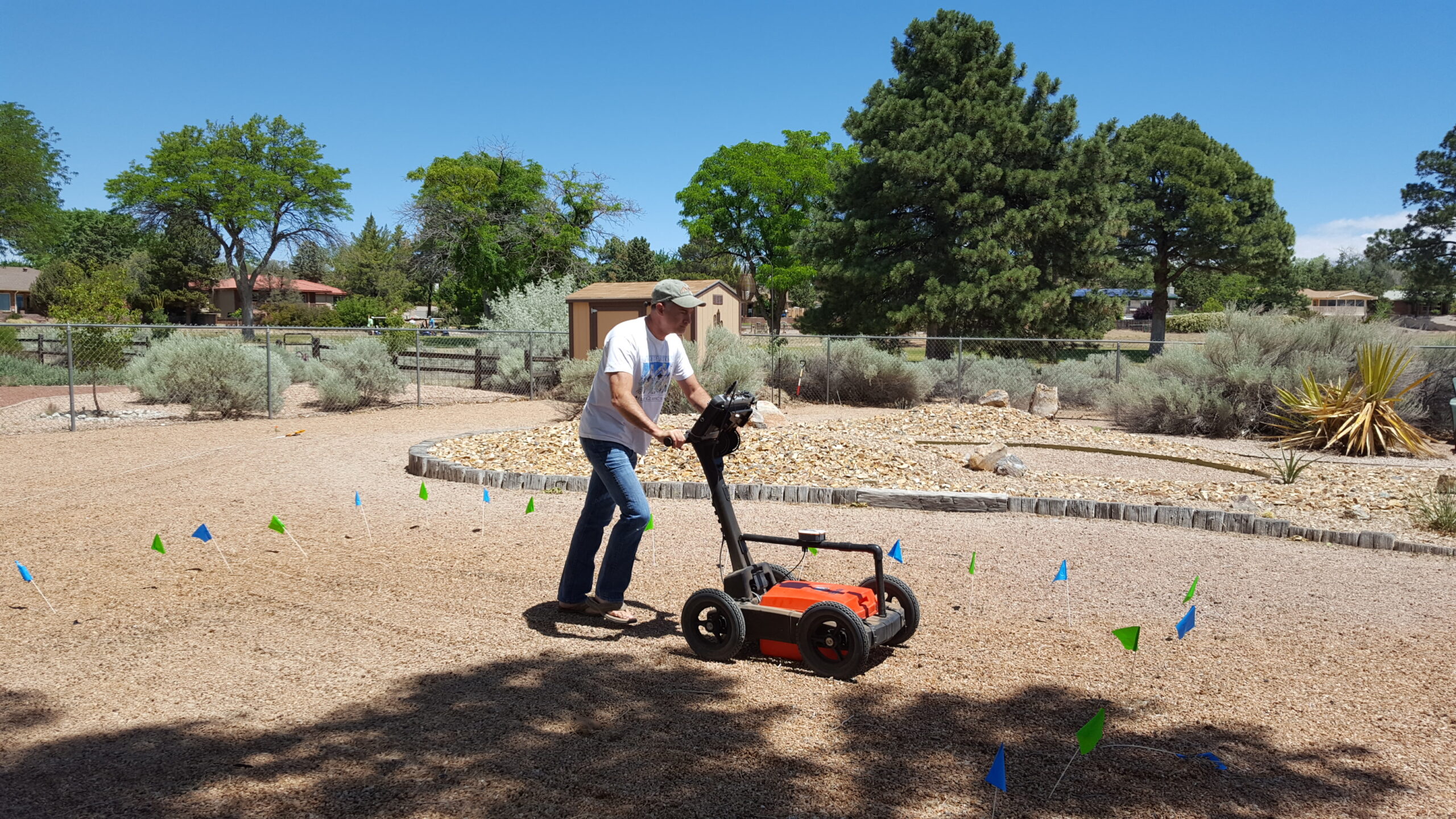
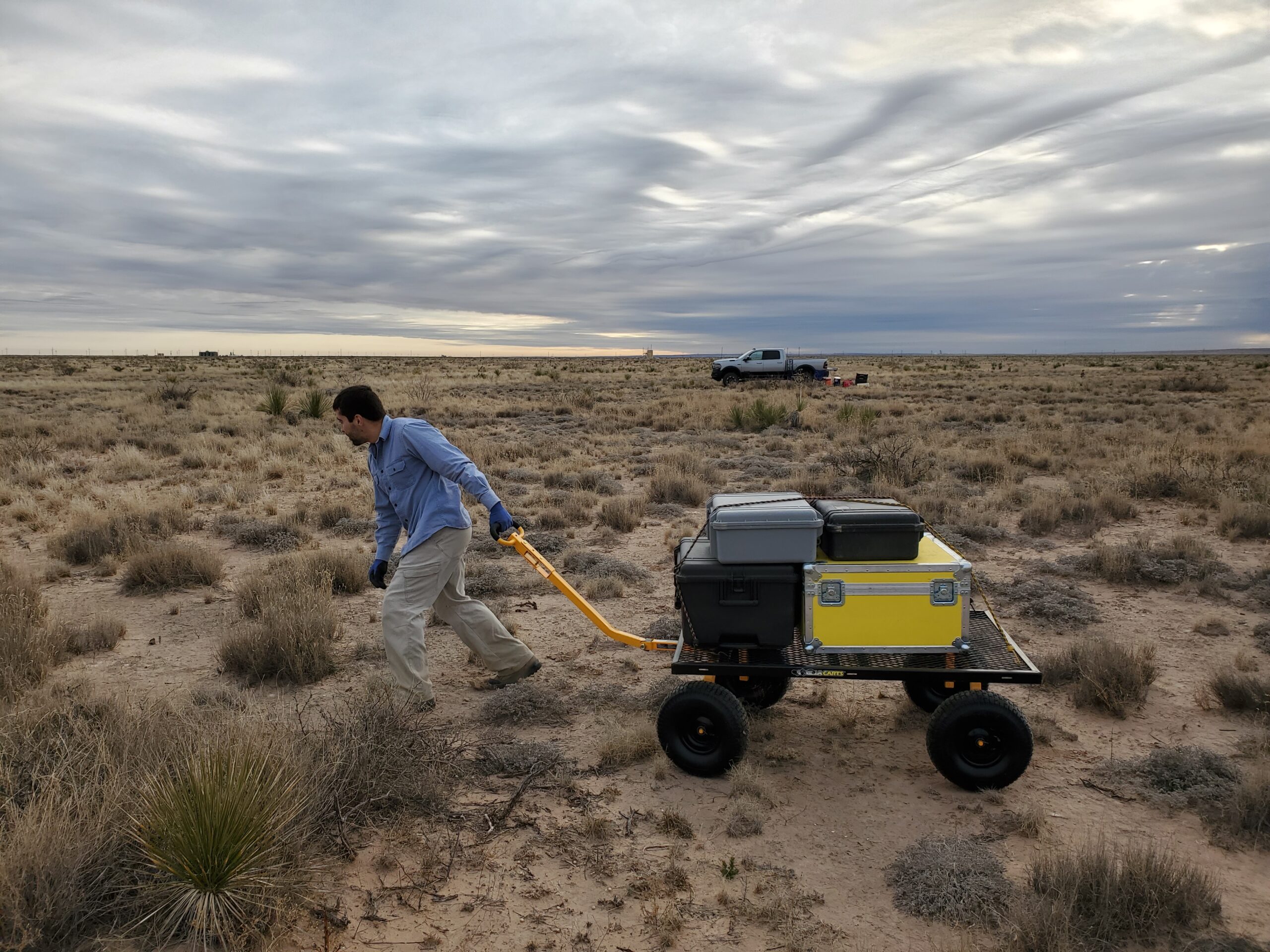
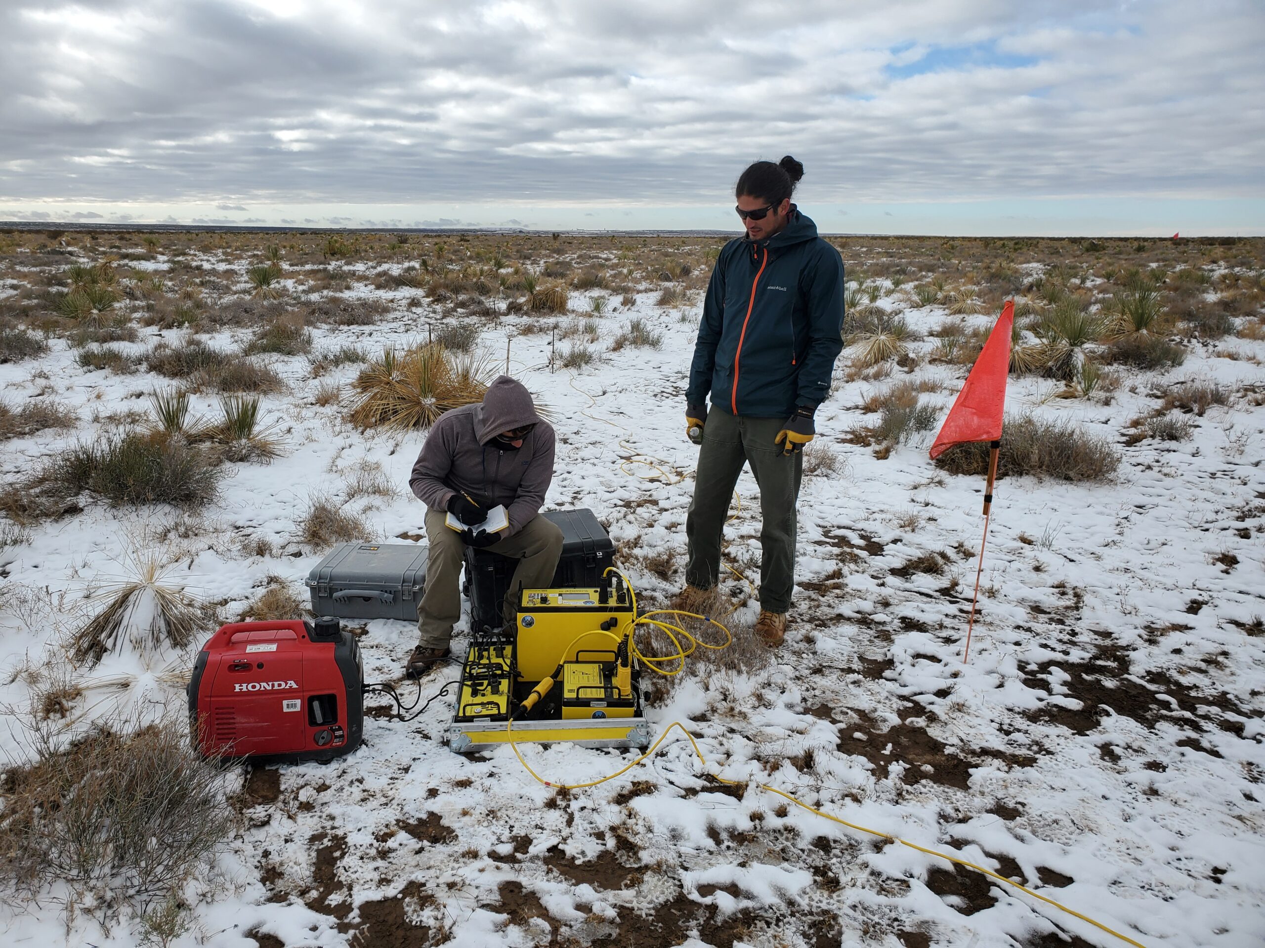
Southwest Geophysical currently uses a GSSI 350 MHz Utility Scan Pro antenna and SIR-4000 processor to detect voids, locate utilities, and do other types of locates up to 5 meters beneath the surface. - Archeology and Law Enforcement – GPR is perfect for locating ancient, buried man-made structures, burial mounds, unmarked graves and other man-made “anomalies”.
- Environmental Remediation – Ground Penetrating Radar can define the edges of old septic pits, locate buried fuel and hazardous waste drums, delineate the extent of abandoned or active waste disposal sites (dumps) and in some cases determine the locations of old mine shafts and adits.